


Copyright © Center for Environmental Visualization| ALL RIGHTS RESERVED.
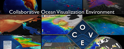
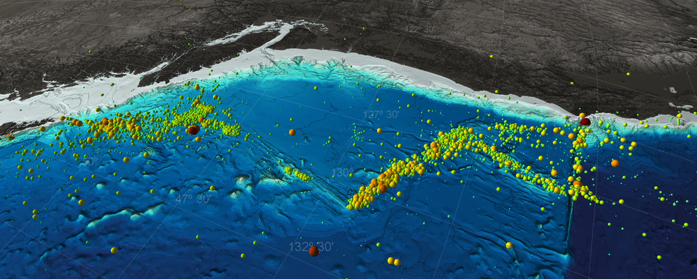
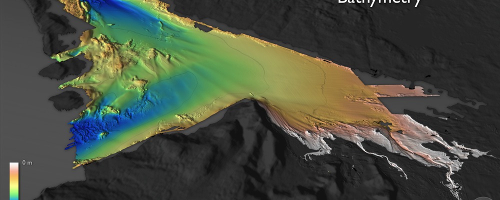
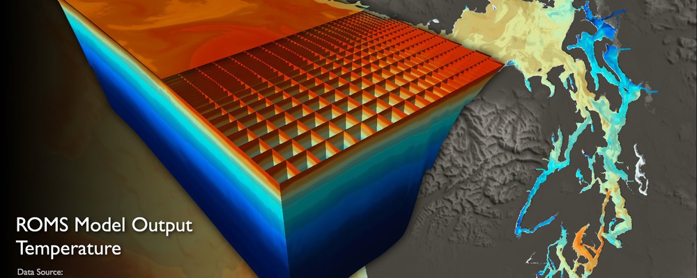
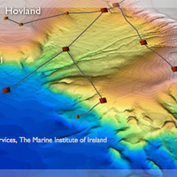
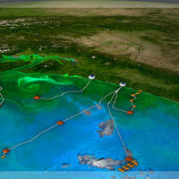
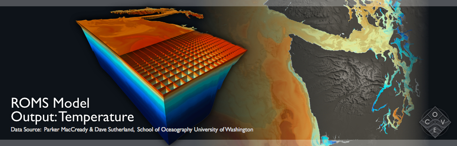
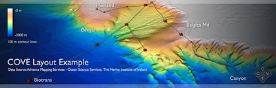
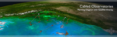
The Collaborative Ocean Visualization Environment (COVE) is a visualization system designed with oceanographers to combine the ease of use of applications like Google Earth with the needs of the scientific community. As well as being able to change scale and perspective at the science site, it also supports high resolution bathymetry, color gradients to highlight the bathymetry, 3D visualization of datasets, and tracking and planning tools for working with oceanographic assets such as AUVs.
COVE was initially developed under an NSF ITR Grant for the Ocean Observatory community. The main architect/developer is Keith Grochow, a PhD student of Ed Lazowska, Department of Computer Science and Engineering. COVE has many of the features of Google Earth, however, it has been specifically designed to work with scientific data-sets including netCDF model output.