Copyright © Center for Environmental Visualization| ALL RIGHTS RESERVED.
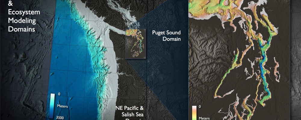
As part of the 2004 University of Washington “Come Together Washington” CEV set up an interactive 3D display of Puget Sound data and the North East Pacific.
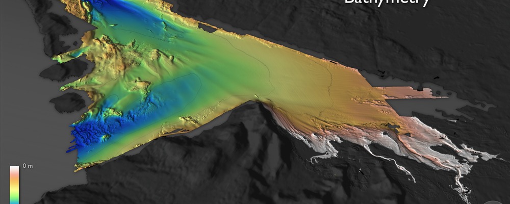
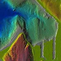
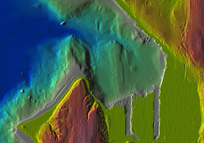
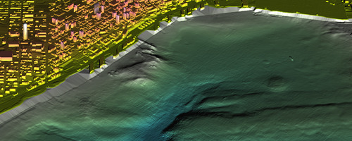
For the Elliott Bay 3D representation CEV worked with data produced by David Finlayson (now with USGS) to represent the topography and bathymetry of the downtown Seattle area.
CEV used IRIS Explorer software to create texture maps that were displayed in an interactive 3D Presenter developed in-house.